Training AI Models on Environmental Data to Predict Local Flooding
Training AI Models on Environmental Data to Predict Local Flooding
There is a tremendous danger that flooding presents to communities all over the globe, since it may result in the destruction of property, economic losses, and human fatalities. The conventional approaches to flood forecasting often depend on historical data, hydrological models that are static, and meteorological reports that are delayed, all of which may restrict the accuracy and timeliness of the forecast. Through the analysis of a wide variety of environmental variables, artificial intelligence provides a transformational method that allows for more accurate forecasting of local flooding episodes for the future. At a granular and community-specific level, artificial intelligence models are able to assess rainfall patterns, river levels, soil saturation, terrain, and real-time meteorological conditions in order to formulate predictions about flood hazards. Artificial intelligence aids in the mitigation of damage and the enhancement of resilience to climate-related disasters by providing actionable insights for emergency response, urban planning, and water management. These insights are provided by the early identification of probable floods.
Collecting and preparing data pertaining to the environment
Collecting exhaustive environmental information is the first step in the process of training artificial intelligence models for flood prediction. In addition to topographical maps and satellite images, sources include measurements of rainfall, river flow rates, soil moisture sensors, and satellite photography. The removal of inconsistencies, the normalization of measurements, and the handling of missing values are all essential components of data preparation. Machine learning algorithms are able to reliably discover patterns and links between environmental parameters and flooding occurrences when they are given access to clean and organized information. This provides the basis for reliable prediction modeling.
Choosing Appropriate Artificial Intelligence Models
For the purpose of flood prediction, a variety of artificial intelligence approaches may be used. These techniques include machine learning algorithms like as random forests and gradient boosting, as well as deep learning models called neural networks. The complex nature of the data, the level of prediction granularity that is needed, and the computing resources that are available all play a role in the selection of the model. In order to improve the accuracy of flood predictions for particular regions, communities, or important infrastructure sites, advanced models are able to incorporate non-linear interactions among various factors.
Environmental Indicators and Specifications for Engineering Features
Important characteristics that are acquired from environmental data are used by AI models. Important indicators include the total amount of rainfall, the pace at which rivers release water, the level of soil saturation, the elevation, the slope, the drainage capacity, and the urban impervious surfaces. The process of feature engineering includes the creation of relevant variables that represent the dynamics of flood risk. These variables may include the intensity of rainfall over time or boundaries for water level. The capacity of the model to forecast when and where flooding is likely to occur is improved by features that have been built in an appropriate manner.
Instruction as well as Validation
Following the preparation of data and characteristics, artificial intelligence models are trained by making use of past flood occurrences and environmental circumstances. Learning patterns that associate environmental variables with flooding results is a part of the training process which incorporates learning patterns. The accuracy and generalization of the model are evaluated using validation datasets, which are distinct from training data. A number of performance criteria, including accuracy, recall, and area under the curve (AUC), guarantee that the model is able to accurately predict floods without producing an excessive number of false alarms or missing occurrences.
The integration of data in real time
It is possible to link artificial intelligence models with real-time environmental monitoring systems in order to deliver timely flood warnings. It is possible for projections to accurately represent the current state of affairs because the model receives data that is regularly updated via sensors, weather stations, and river gauges. Real-time integration makes it possible to generate dynamic predictions that can adapt to shifting patterns of rainfall, increasing water levels, or abrupt bottlenecks in infrastructure. This improves the situational awareness of communities and authorities.
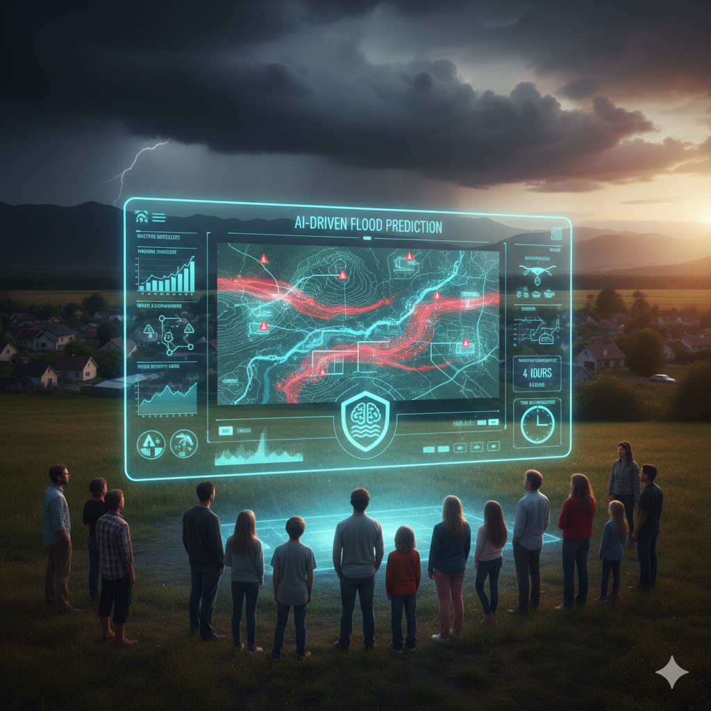
Analysis of Risk and Visualization of Risk
The results of artificial intelligence may be converted into flood risk maps and visual dashboards, which can be used to convey the severity of the hazards to decision-makers, emergency responders, and the general public. Geographical overlays, color-coded maps, and interactive charts are used to display the locations that are most likely to be impacted, as well as the predicted water depth and projected time. Tools for visualization facilitate the making of decisions quickly, the planning of evacuations, and the allocation of resources in a targeted manner during flood situations.
Providing Assistance to Early Warning Systems
Early warning systems are improved by flood prediction that is powered by artificial intelligence (AI) since it provides precise, localized notifications before water levels reach predetermined targets. The delivery of notifications may be accomplished via the use of mobile applications, messaging platforms, or municipal alert systems, which provides citizens and authorities with ample time to put mitigation measures into effect. By providing early warnings, property damage may be reduced, fatalities can be avoided, and overall community preparation can be improved.
Learning on an ongoing basis and developing better models
Continuous learning is beneficial for artificial intelligence models that are used for flood prediction because it allows for the incorporation of fresh environmental data and results over the course of time. Through the use of feedback loops, models are able to adjust to shifting patterns of climate, urban growth, or changes in river systems. Continuous improvement guarantees that long-term accuracy, dependability, and relevance are maintained in conditions where the environmental landscape is always changing.
Facilitating the Development of Resilience Strategies and Urban Planning
In addition to providing instant flood prediction, artificial intelligence models can give insights that enable long-term planning and the construction of infrastructure. It is possible for decision-makers to construct enhanced drainage systems, flood barriers, and sustainable land-use practices if they first identify high-risk zones using this information. The incorporation of artificial intelligence forecasts into urban design not only improves resilience but also reduces the negative effects of flooding and guarantees that communities are better prepared for future severe weather occurrences.